
New
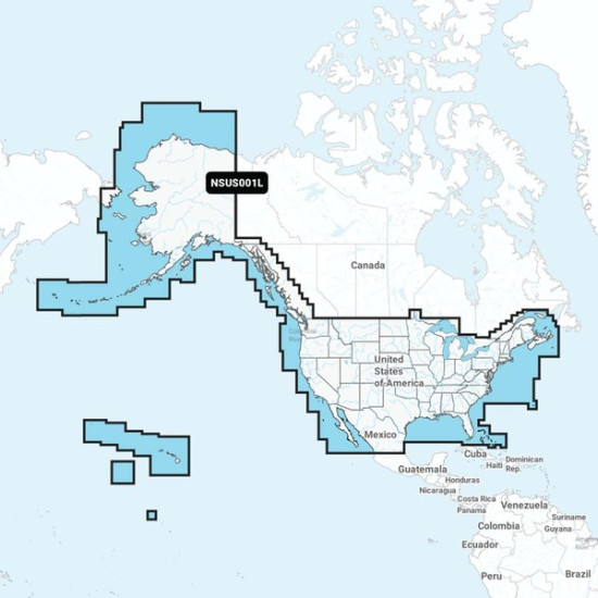
Garmin Navionics+ NSUS001L US & Coastal Canada
- Stock: 2
- Model: dpt_CWR-92669
- Weight: 0.25lb
- Dimensions: 6.00in x 4.00in x 1.00in
- SKU: dpt_CWR-92669
- UPC: Does Not Apply
- SHIPPING PRICE: $3.95
190 samples sold
Product Views: 45
$281.43